
Evaluation d’un Lidar embarqué pour cartographier le poids des bois de taille en viticulture
Des robots dans les poulaillers
avril 3, 2017La Blockchain est dans le pré
avril 4, 2017Evaluation d’un Lidar embarqué pour cartographier le poids des bois de taille en viticulture
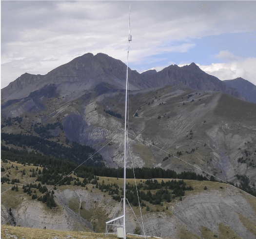
Une recherche effectuée par des scientifiques de l’université d’Athénes qui vient d’être publiée dans le journal of precision agriculture. Cet article mérite d’être mentionné car, à part le physiocap, il existe peu de capteurs permettant d’accéder directement à la vigueur de la vigne. L’article propose d’utiliser un Lidar embarqué pour estimer le volume de bois présent sur la vigne en hiver. De maniére rigoureuse, l’approche reste un estimation de l’expression végétative mais pourrait permettre, à terme, d’accéder à une mesure de la vigueur. Sur deux années consécutives, les chercheurs ont montré qu’il existait une corrélation significative (R > 0,8) entre les mesures d’impact données par le lidar et le poids des bois de taille. Remarquons toutefois que cette corrélation est obtenue sur des surfaces élémentaires de 20*20 m, ce qui pose la question de la résolution des informations et du lissage qui en résulte.
Résumé : Vine vigour assessment has been a major concern of precision viticulture studies in order to identify areas of uniform vine performance within vineyards. Moreover, the counting and weighing of winter dormant canes is considered as the most informative measurement to indicate vine balance and is commonly performed manually by grape growers for management purposes. The main concern of this measurement is that it is time consuming and laborious and it cannot accommodate detailed sampling density. In the present study, the potential of using laser scanner technology as an automated, easy and rapid way to perform mapping of the winter pruning wood across the vineyard was investigated. The study was conducted during 2010 and 2011, in a one hectare commercial vineyard in central Greece, planted with cv. Agiorgitiko, a traditional Greek variety for the production of red wine. Parameters of topography, soil depth, soil texture, canopy properties (NDVI), yield, and grape quality were mapped and analysed in conjunction to winter canes weighing at pruning time. The mapping of the dormant canes was carried out using a 2D laser scanner sensor prior to pruning and manually measuring the pruning weight on a 10 × 20 m grid. Laser scanner measurements showed significant relationship in both 2010 and 2011 with pruning weight (r = 0.809 and r = 0.829 respectively, p < 0.001), yield and early season NDVI, showing the potential of using laser scanner measurements to assess variability in vine vigour within vineyards. These results suggest that laser scanners offer great promise to characterize within field variability in vine performance.
références : Tagarakis, A. C., Koundouras, S., Fountas, S., & Gemtos, T. Evaluation of the use of LIDAR laser scanner to map pruning wood in vineyards and its potential for management zones delineation. Precision Agriculture, 1-14.

